The end of the line, Sittingbourne and Kemsley Light Railway
Introduction
The photograph on this page of The end of the line, Sittingbourne and Kemsley Light Railway by David Anstiss as part of the Geograph project.
The Geograph project started in 2005 with the aim of publishing, organising and preserving representative images for every square kilometre of Great Britain, Ireland and the Isle of Man.

There are currently over 7.5m images from over 14,400 individuals and you can help contribute to the project by visiting https://www.geograph.org.uk
The end of the line, Sittingbourne and Kemsley Light Railway
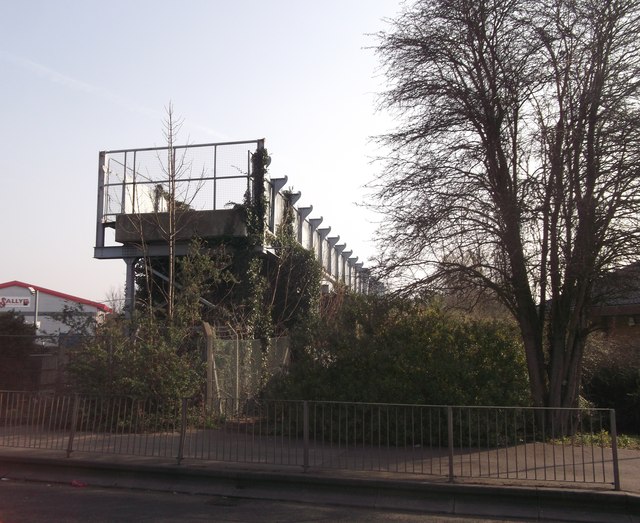
Image: © David Anstiss Taken: 22 Mar 2012
As seen from Mill Way. This used to be part of pipeline bridge. Seen in Image But since Sittingbourne Mill has been demolished and the pipeline has been removed. The end of the line can be seen more clearly.
Images are licensed for reuse under creativecommons.org/licenses/by-sa/2.0
Image Location


Leaflet Map data © OpenStreetMap
Latitude
51.344632
Longitude
0.7322