Shooters Hill
Introduction
The photograph on this page of Shooters Hill by Des Blenkinsopp as part of the Geograph project.
The Geograph project started in 2005 with the aim of publishing, organising and preserving representative images for every square kilometre of Great Britain, Ireland and the Isle of Man.

There are currently over 7.5m images from over 14,400 individuals and you can help contribute to the project by visiting https://www.geograph.org.uk
Shooters Hill
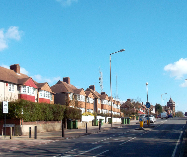
Image: © Des Blenkinsopp Taken: 8 Mar 2012
Looking uphill along the old Roman London to Canterbury road towards the landmark water tower at the summit. This is the highest spot for a long way around which accounts for the number of masts up here.
Images are licensed for reuse under creativecommons.org/licenses/by-sa/2.0
Image Location
Latitude
51.469455
Longitude
0.064755