Wesley Playing Fields
Introduction
The photograph on this page of Wesley Playing Fields by Derek Harper as part of the Geograph project.
The Geograph project started in 2005 with the aim of publishing, organising and preserving representative images for every square kilometre of Great Britain, Ireland and the Isle of Man.

There are currently over 7.5m images from over 14,400 individuals and you can help contribute to the project by visiting https://www.geograph.org.uk
Wesley Playing Fields
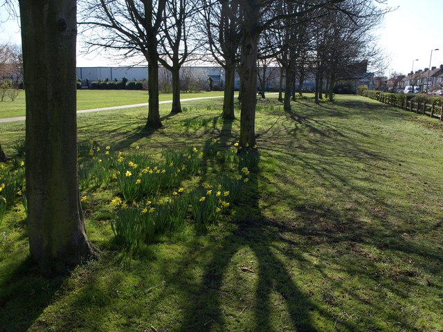
Image: © Derek Harper Taken: 19 Mar 2012
Trees along the west side of Image, with North Acton Road along the right-hand side, and Dooa House, home to a cosmetics manufacturing company, on the far side.
Images are licensed for reuse under creativecommons.org/licenses/by-sa/2.0
Image Location
Latitude
51.532273
Longitude
-0.259839