Back alley and playpark
Introduction
The photograph on this page of Back alley and playpark by Richard Dorrell as part of the Geograph project.
The Geograph project started in 2005 with the aim of publishing, organising and preserving representative images for every square kilometre of Great Britain, Ireland and the Isle of Man.

There are currently over 7.5m images from over 14,400 individuals and you can help contribute to the project by visiting https://www.geograph.org.uk
Back alley and playpark
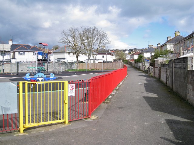
Image: © Richard Dorrell Taken: 18 Mar 2012
The back gardens of the houses on the right, which are in Salisbury Avenue, back onto this pedestrian-only alley. The backs of the houses on the left are in Dorchester Grove. The play park is squeezed into a small triangle of land between the houses.
Images are licensed for reuse under creativecommons.org/licenses/by-sa/2.0
Image Location
Latitude
50.485501
Longitude
-3.540193