Lower Fold Farm
Introduction
The photograph on this page of Lower Fold Farm by Bill Boaden as part of the Geograph project.
The Geograph project started in 2005 with the aim of publishing, organising and preserving representative images for every square kilometre of Great Britain, Ireland and the Isle of Man.

There are currently over 7.5m images from over 14,400 individuals and you can help contribute to the project by visiting https://www.geograph.org.uk
Lower Fold Farm
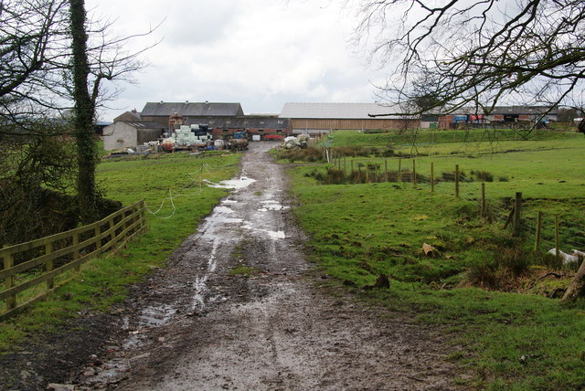
Image: © Bill Boaden Taken: 17 Mar 2012
A farm west of Witton Park. The track just provides access to fields.
Images are licensed for reuse under creativecommons.org/licenses/by-sa/2.0
Image Location
Latitude
53.742082
Longitude
-2.528499