Montgomerieston Farm
Introduction
The photograph on this page of Montgomerieston Farm by Mary and Angus Hogg as part of the Geograph project.
The Geograph project started in 2005 with the aim of publishing, organising and preserving representative images for every square kilometre of Great Britain, Ireland and the Isle of Man.

There are currently over 7.5m images from over 14,400 individuals and you can help contribute to the project by visiting https://www.geograph.org.uk
Montgomerieston Farm
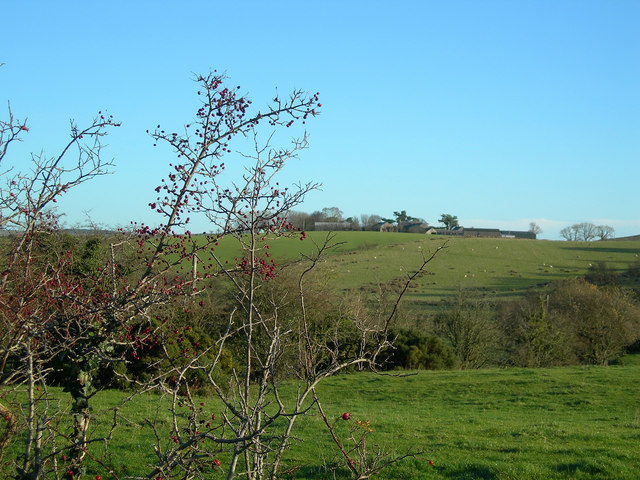
Image: © Mary and Angus Hogg Taken: 26 Nov 2006
Looking east from the minor road on a fine November morning.
Images are licensed for reuse under creativecommons.org/licenses/by-sa/2.0
Image Location
Latitude
55.379162
Longitude
-4.582117