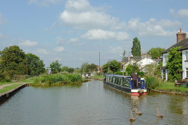
Thurlwood Upper Locks No 53, Cheshire
Introduction
The photograph on this page of Thurlwood Upper Locks No 53, Cheshire by Roger D Kidd as part of the Geograph project.
The Geograph project started in 2005 with the aim of publishing, organising and preserving representative images for every square kilometre of Great Britain, Ireland and the Isle of Man.
There are currently over 7.5m images from over 14,400 individuals and you can help contribute to the project by visiting https://www.geograph.org.uk

Image: © Roger D Kidd Taken: 1 Sep 2011
This used to be a single lock built by James Brindley in the mid 1770s (left of the one being used by the narrowboat). In order to speed traffic along in the 1830s Thomas Telford supervised pairing of most of the locks between Hardings Wood and Wheelock. Over the decades, salt mining subsidence caused many of the locks to need maintenance, which was not given as traffic fell away in the mid 20th century. Consequently many locks fell into disuse, some being filled in. In 1957 an experimental steel lock replaced Brindleys lock here on the left, past the reeds. This was a difficult structure to operate, doomed to failure, and was dismantled for scrap in 1988. The site is now filled in and grassed over. See also: Image] Image]

