South Shore, Victory Pier
Introduction
The photograph on this page of South Shore, Victory Pier by David Anstiss as part of the Geograph project.
The Geograph project started in 2005 with the aim of publishing, organising and preserving representative images for every square kilometre of Great Britain, Ireland and the Isle of Man.

There are currently over 7.5m images from over 14,400 individuals and you can help contribute to the project by visiting https://www.geograph.org.uk
South Shore, Victory Pier
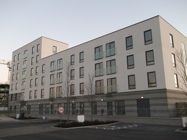
Image: © David Anstiss Taken: 19 Mar 2012
Block M of the large development area. This block is a shared ownership scheme block of apartments. As seen from Ocean Drive.
Images are licensed for reuse under creativecommons.org/licenses/by-sa/2.0
Image Location
Latitude
51.396303
Longitude
0.554848