Tide End Cottage
Introduction
The photograph on this page of Tide End Cottage by Stephen Craven as part of the Geograph project.
The Geograph project started in 2005 with the aim of publishing, organising and preserving representative images for every square kilometre of Great Britain, Ireland and the Isle of Man.

There are currently over 7.5m images from over 14,400 individuals and you can help contribute to the project by visiting https://www.geograph.org.uk
Tide End Cottage
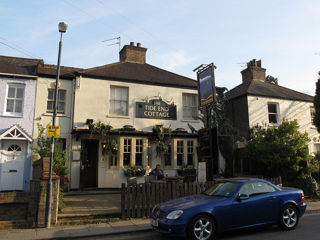
Image: © Stephen Craven Taken: 14 Mar 2012
Despite the name this is actually a pub, on Ferry Road leading down to the Thames at Teddington Lock. The name derives from the lock/weir being the tidal limit of the river.
Images are licensed for reuse under creativecommons.org/licenses/by-sa/2.0
Image Location
Latitude
51.429422
Longitude
-0.323017