Carroway Head
Introduction
The photograph on this page of Carroway Head by Rob Farrow as part of the Geograph project.
The Geograph project started in 2005 with the aim of publishing, organising and preserving representative images for every square kilometre of Great Britain, Ireland and the Isle of Man.

There are currently over 7.5m images from over 14,400 individuals and you can help contribute to the project by visiting https://www.geograph.org.uk
Carroway Head
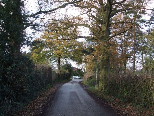
Image: © Rob Farrow Taken: 26 Nov 2006
This is the end of Shirrall Drive at Carroway Head. Carroway Head Farm is on the left. The car is on the A453 as it crosses the end of the lane.
Images are licensed for reuse under creativecommons.org/licenses/by-sa/2.0
Image Location
Latitude
52.595511
Longitude
-1.774824