Fox Hollies Road
Introduction
The photograph on this page of Fox Hollies Road by Rob Farrow as part of the Geograph project.
The Geograph project started in 2005 with the aim of publishing, organising and preserving representative images for every square kilometre of Great Britain, Ireland and the Isle of Man.

There are currently over 7.5m images from over 14,400 individuals and you can help contribute to the project by visiting https://www.geograph.org.uk
Fox Hollies Road
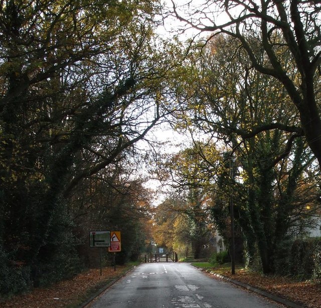
Image: © Rob Farrow Taken: 26 Nov 2006
This road originally continued in a dead-straight line to the roundabout at Thimble End. Now, however a gate bars the way to traffic which has to turn 90º right. Pedestrians can still follow the old route though.
Images are licensed for reuse under creativecommons.org/licenses/by-sa/2.0
Image Location
Latitude
52.548515
Longitude
-1.785682