Churt Road, Beacon Hill
Introduction
The photograph on this page of Churt Road, Beacon Hill by Colin Smith as part of the Geograph project.
The Geograph project started in 2005 with the aim of publishing, organising and preserving representative images for every square kilometre of Great Britain, Ireland and the Isle of Man.

There are currently over 7.5m images from over 14,400 individuals and you can help contribute to the project by visiting https://www.geograph.org.uk
Churt Road, Beacon Hill
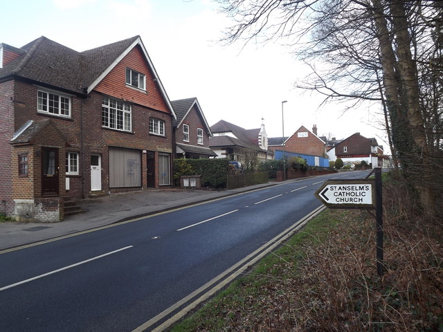
Image: © Colin Smith Taken: 18 Mar 2012
Approaching the hilltop village's centre from the west. The church is being converted to housing (2012).
Images are licensed for reuse under creativecommons.org/licenses/by-sa/2.0
Image Location
Latitude
51.121525
Longitude
-0.756005