Farm buildings at the crossroads at Longlands
Introduction
The photograph on this page of Farm buildings at the crossroads at Longlands by David Smith as part of the Geograph project.
The Geograph project started in 2005 with the aim of publishing, organising and preserving representative images for every square kilometre of Great Britain, Ireland and the Isle of Man.

There are currently over 7.5m images from over 14,400 individuals and you can help contribute to the project by visiting https://www.geograph.org.uk
Farm buildings at the crossroads at Longlands
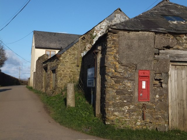
Image: © David Smith Taken: 18 Mar 2012
The wall-box is Victorian. The community was once large enough to have its own school, just to the south of the junction.
Images are licensed for reuse under creativecommons.org/licenses/by-sa/2.0
Image Location
Latitude
50.403512
Longitude
-4.250027