Muller Road Allotments
Introduction
The photograph on this page of Muller Road Allotments by Anthony Vosper as part of the Geograph project.
The Geograph project started in 2005 with the aim of publishing, organising and preserving representative images for every square kilometre of Great Britain, Ireland and the Isle of Man.

There are currently over 7.5m images from over 14,400 individuals and you can help contribute to the project by visiting https://www.geograph.org.uk
Muller Road Allotments
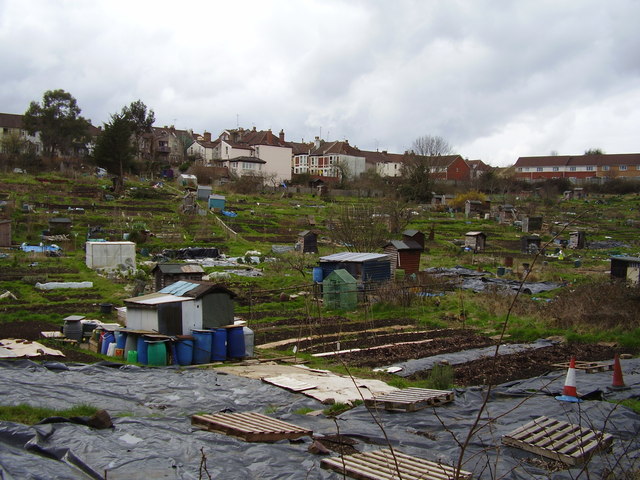
Image: © Anthony Vosper Taken: 17 Mar 2012
Early spring and some of the plots have been dug over. Whilst the allotment holder in the foreground has chosen a less conventional way to suppress the weeds.
Images are licensed for reuse under creativecommons.org/licenses/by-sa/2.0
Image Location
Latitude
51.480543
Longitude
-2.57725