Burtonhole Lane
Introduction
The photograph on this page of Burtonhole Lane by Martin Addison as part of the Geograph project.
The Geograph project started in 2005 with the aim of publishing, organising and preserving representative images for every square kilometre of Great Britain, Ireland and the Isle of Man.

There are currently over 7.5m images from over 14,400 individuals and you can help contribute to the project by visiting https://www.geograph.org.uk
Burtonhole Lane
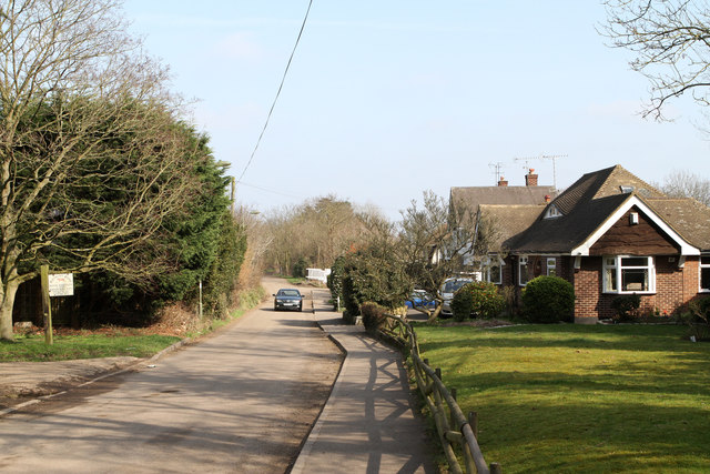
Image: © Martin Addison Taken: 11 Mar 2012
The sign on the left indicates the entrance to Burtonhole Farm. The lane declines into an un-metalled track beyond the distant trees and eventually becomes a road used as a public path.
Images are licensed for reuse under creativecommons.org/licenses/by-sa/2.0
Image Location
Latitude
51.619628
Longitude
-0.214608