View SE from near the top of Bushblades Lane
Introduction
The photograph on this page of View SE from near the top of Bushblades Lane by Robert Graham as part of the Geograph project.
The Geograph project started in 2005 with the aim of publishing, organising and preserving representative images for every square kilometre of Great Britain, Ireland and the Isle of Man.

There are currently over 7.5m images from over 14,400 individuals and you can help contribute to the project by visiting https://www.geograph.org.uk
View SE from near the top of Bushblades Lane
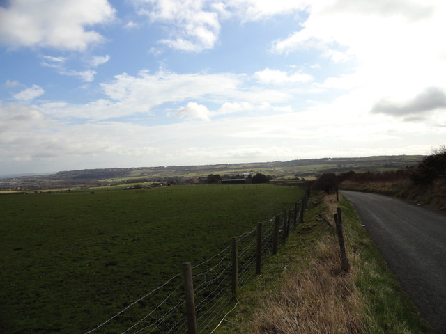
Image: © Robert Graham Taken: 9 Mar 2012
View from just below High Bushblades. Bush Blades farm in the middle distance, Stanley on the horizon.
Images are licensed for reuse under creativecommons.org/licenses/by-sa/2.0
Image Location
Latitude
54.875443
Longitude
-1.738314