Fishing by permit only
Introduction
The photograph on this page of Fishing by permit only by Andy Farrington as part of the Geograph project.
The Geograph project started in 2005 with the aim of publishing, organising and preserving representative images for every square kilometre of Great Britain, Ireland and the Isle of Man.

There are currently over 7.5m images from over 14,400 individuals and you can help contribute to the project by visiting https://www.geograph.org.uk
Fishing by permit only
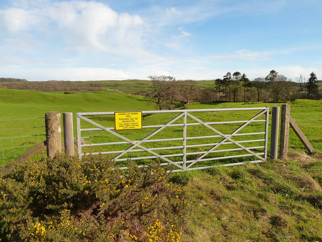
Image: © Andy Farrington Taken: 17 Mar 2012
A couple of hundred yards away in the dip is the River Dee hence the sign.
Images are licensed for reuse under creativecommons.org/licenses/by-sa/2.0
Image Location
Latitude
54.877997
Longitude
-4.024131