Field Edge, Churt
Introduction
The photograph on this page of Field Edge, Churt by Colin Smith as part of the Geograph project.
The Geograph project started in 2005 with the aim of publishing, organising and preserving representative images for every square kilometre of Great Britain, Ireland and the Isle of Man.

There are currently over 7.5m images from over 14,400 individuals and you can help contribute to the project by visiting https://www.geograph.org.uk
Field Edge, Churt
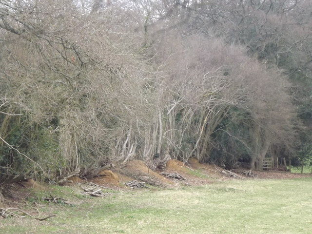
Image: © Colin Smith Taken: 18 Mar 2012
Established trees and a raised earth bank along a field edge east of Churt. http://en.wikipedia.org/wiki/Churt
Images are licensed for reuse under creativecommons.org/licenses/by-sa/2.0
Image Location
Latitude
51.136242
Longitude
-0.770046