Salisbury Road
Introduction
The photograph on this page of Salisbury Road by mike smith as part of the Geograph project.
The Geograph project started in 2005 with the aim of publishing, organising and preserving representative images for every square kilometre of Great Britain, Ireland and the Isle of Man.

There are currently over 7.5m images from over 14,400 individuals and you can help contribute to the project by visiting https://www.geograph.org.uk
Salisbury Road
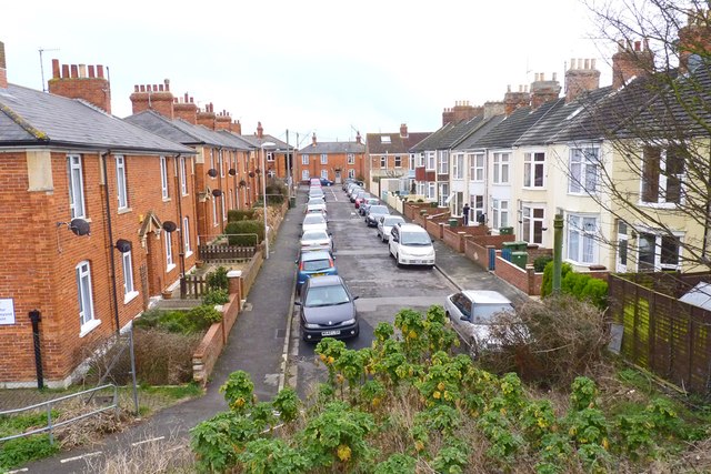
Image: © mike smith Taken: 17 Mar 2012
This traditional residential street is viewed from the embankment of an old railway line, now a public footpath.
Images are licensed for reuse under creativecommons.org/licenses/by-sa/2.0
Image Location
Latitude
50.609798
Longitude
-2.4618