The Drop Public House, Darfield
Introduction
The photograph on this page of The Drop Public House, Darfield by Bill Henderson as part of the Geograph project.
The Geograph project started in 2005 with the aim of publishing, organising and preserving representative images for every square kilometre of Great Britain, Ireland and the Isle of Man.

There are currently over 7.5m images from over 14,400 individuals and you can help contribute to the project by visiting https://www.geograph.org.uk
The Drop Public House, Darfield
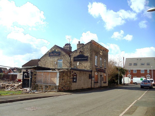
Image: © Bill Henderson Taken: 18 Mar 2012
Probably the last view of this public house before it is demolished.
Images are licensed for reuse under creativecommons.org/licenses/by-sa/2.0
Image Location
Latitude
53.530639
Longitude
-1.387618