Footpath to Manor Farm
Introduction
The photograph on this page of Footpath to Manor Farm by Jonathan Clitheroe as part of the Geograph project.
The Geograph project started in 2005 with the aim of publishing, organising and preserving representative images for every square kilometre of Great Britain, Ireland and the Isle of Man.

There are currently over 7.5m images from over 14,400 individuals and you can help contribute to the project by visiting https://www.geograph.org.uk
Footpath to Manor Farm
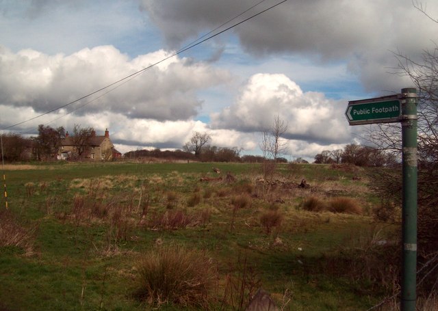
Image: © Jonathan Clitheroe Taken: 17 Mar 2012
Heathland situated on the north fringe of Clowne and pictured here from Hickinwood Lane. Manor Farm on the left of the picture probably stands on the site of the original manor mentioned in Domesday Book and the path here also leads to Harlesthorpe Dam. Situated out of sight to the left of the farm, this pond was used in the past for separating flax fibres in a process known as 'retting'.
Images are licensed for reuse under creativecommons.org/licenses/by-sa/2.0
Image Location
Latitude
53.279211
Longitude
-1.258337