The lane through Hutton Roof, Mungrisdale CP
Introduction
The photograph on this page of The lane through Hutton Roof, Mungrisdale CP by Humphrey Bolton as part of the Geograph project.
The Geograph project started in 2005 with the aim of publishing, organising and preserving representative images for every square kilometre of Great Britain, Ireland and the Isle of Man.

There are currently over 7.5m images from over 14,400 individuals and you can help contribute to the project by visiting https://www.geograph.org.uk
The lane through Hutton Roof, Mungrisdale CP
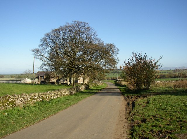
Image: © Humphrey Bolton Taken: 1 Nov 2006
Wham Head Farm is behind the trees.
Images are licensed for reuse under creativecommons.org/licenses/by-sa/2.0
Image Location
Latitude
54.698918
Longitude
-2.972852