New Swanage, Purbeck Centre
Introduction
The photograph on this page of New Swanage, Purbeck Centre by Mike Faherty as part of the Geograph project.
The Geograph project started in 2005 with the aim of publishing, organising and preserving representative images for every square kilometre of Great Britain, Ireland and the Isle of Man.

There are currently over 7.5m images from over 14,400 individuals and you can help contribute to the project by visiting https://www.geograph.org.uk
New Swanage, Purbeck Centre
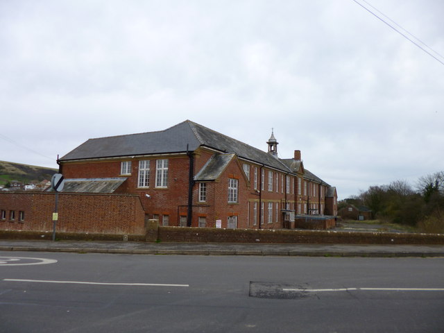
Image: © Mike Faherty Taken: 17 Mar 2012
On Northbrook Road; once, the site of Swanage Grammar School, then Purbeck Centre; now disused, though there are plans for a new secondary school on the site. http://www.educationswanage.co.uk/userfiles/file/ES_SUMMARY.pdf
Images are licensed for reuse under creativecommons.org/licenses/by-sa/2.0
Image Location


Leaflet Map data © OpenStreetMap
Latitude
50.62033
Longitude
-1.959943