Road to Hensbarrow Downs
Introduction
The photograph on this page of Road to Hensbarrow Downs by David Smith as part of the Geograph project.
The Geograph project started in 2005 with the aim of publishing, organising and preserving representative images for every square kilometre of Great Britain, Ireland and the Isle of Man.

There are currently over 7.5m images from over 14,400 individuals and you can help contribute to the project by visiting https://www.geograph.org.uk
Road to Hensbarrow Downs
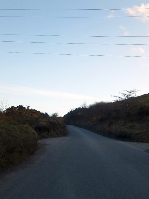
Image: © David Smith Taken: 7 Mar 2012
One of the east-west sets of cables for the National Grid crosses the road here, at Higher Trezaise.
Images are licensed for reuse under creativecommons.org/licenses/by-sa/2.0
Image Location
Latitude
50.391735
Longitude
-4.826489