Footpath towards Chiltonpark Farm
Introduction
The photograph on this page of Footpath towards Chiltonpark Farm by Graham Horn as part of the Geograph project.
The Geograph project started in 2005 with the aim of publishing, organising and preserving representative images for every square kilometre of Great Britain, Ireland and the Isle of Man.

There are currently over 7.5m images from over 14,400 individuals and you can help contribute to the project by visiting https://www.geograph.org.uk
Footpath towards Chiltonpark Farm
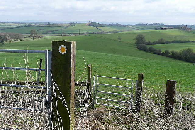
Image: © Graham Horn Taken: 10 Mar 2012
Chiltonpark Farm can be seen at the end of the ridge on the high ground to the right. The footpath goes through these two gates (well you can actually go around the first one) then along the ridge.
Images are licensed for reuse under creativecommons.org/licenses/by-sa/2.0
Image Location
Latitude
51.815307
Longitude
-1.039614