Mains of Burnbank
Introduction
The photograph on this page of Mains of Burnbank by Richard Webb as part of the Geograph project.
The Geograph project started in 2005 with the aim of publishing, organising and preserving representative images for every square kilometre of Great Britain, Ireland and the Isle of Man.

There are currently over 7.5m images from over 14,400 individuals and you can help contribute to the project by visiting https://www.geograph.org.uk
Mains of Burnbank
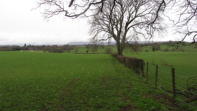
Image: © Richard Webb Taken: 16 Mar 2012
Grassland above the carse, there is the remains of a thorn hedge here with gaps backed up by wire fencing.
Images are licensed for reuse under creativecommons.org/licenses/by-sa/2.0
Image Location


Leaflet Map data © OpenStreetMap
Latitude
56.163996
Longitude
-4.089346