Nottingham - Sherwood NG5
Introduction
The photograph on this page of Nottingham - Sherwood NG5 by David Hallam-Jones as part of the Geograph project.
The Geograph project started in 2005 with the aim of publishing, organising and preserving representative images for every square kilometre of Great Britain, Ireland and the Isle of Man.

There are currently over 7.5m images from over 14,400 individuals and you can help contribute to the project by visiting https://www.geograph.org.uk
Nottingham - Sherwood NG5
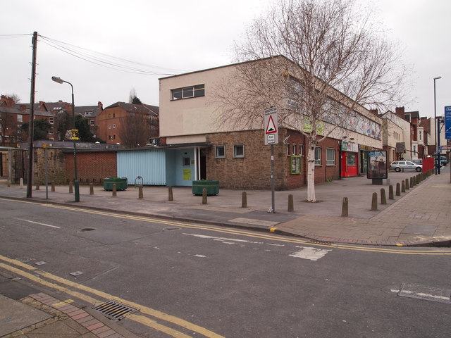
Image: © David Hallam-Jones Taken: 16 Mar 2012
A view of the Spondon St entrance to Sherwood library. The library occupies the top floor of the building and users looking out of its upper windows, visible in the picture, would look out onto Mansfield Rd (A60). The red painted shop on the ground floor is a defunct pizzeria and there are plans afoot to convert it into a part-time mini police station for Sherwood and Carrington in 2012/13.
Images are licensed for reuse under creativecommons.org/licenses/by-sa/2.0
Image Location
Latitude
52.979666
Longitude
-1.147304