Nottingham - Sherwood NG5
Introduction
The photograph on this page of Nottingham - Sherwood NG5 by David Hallam-Jones as part of the Geograph project.
The Geograph project started in 2005 with the aim of publishing, organising and preserving representative images for every square kilometre of Great Britain, Ireland and the Isle of Man.

There are currently over 7.5m images from over 14,400 individuals and you can help contribute to the project by visiting https://www.geograph.org.uk
Nottingham - Sherwood NG5
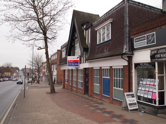
Image: © David Hallam-Jones Taken: 16 Mar 2012
A long stretch of the A60 (Mansfield Rd) as it travels through Sherwood in the direction of Nottingham city centre. This constitutes the 'High Street' for this particular suburb, although it is not referred to as such.
Images are licensed for reuse under creativecommons.org/licenses/by-sa/2.0
Image Location
Latitude
52.982621
Longitude
-1.145607