Cycle route waymarker, Tumble
Introduction
The photograph on this page of Cycle route waymarker, Tumble by Nigel Davies as part of the Geograph project.
The Geograph project started in 2005 with the aim of publishing, organising and preserving representative images for every square kilometre of Great Britain, Ireland and the Isle of Man.

There are currently over 7.5m images from over 14,400 individuals and you can help contribute to the project by visiting https://www.geograph.org.uk
Cycle route waymarker, Tumble
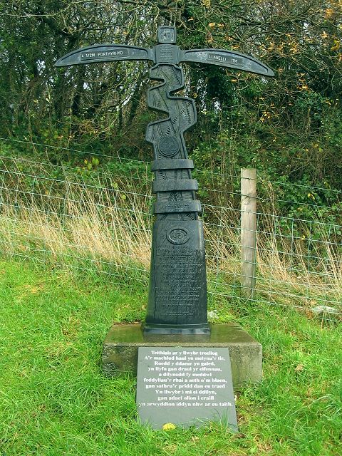
Image: © Nigel Davies Taken: 25 Nov 2006
This Sustrans waymarker on cycle route 47 is right beside the main road from upper Tumble to lower. The arms point to Porthyrhyd and Llanelli.
Images are licensed for reuse under creativecommons.org/licenses/by-sa/2.0
Image Location


Leaflet Map data © OpenStreetMap
Latitude
51.78676
Longitude
-4.117254