Houses at the south west end of Hardy Lane, Chorlton
Introduction
The photograph on this page of Houses at the south west end of Hardy Lane, Chorlton by Phil Champion as part of the Geograph project.
The Geograph project started in 2005 with the aim of publishing, organising and preserving representative images for every square kilometre of Great Britain, Ireland and the Isle of Man.

There are currently over 7.5m images from over 14,400 individuals and you can help contribute to the project by visiting https://www.geograph.org.uk
Houses at the south west end of Hardy Lane, Chorlton
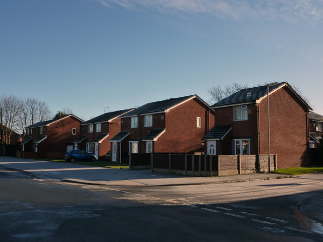
Image: © Phil Champion Taken: 18 Dec 2011
Numbers 57-69 Hardy Lane. To the right is a small cul-de-sac - Burleigh Mews - with more small detached and semi detached houses of the same style. This development was built in the 1980s on the site of Hardy Lane cottages. These were a block of nine late 19th century cottages, dating from the time when Hardy Lane was a rural country lane. The cottages were the subject of a slum clearance dated 1969 and demolished in 1972. http://hardylane.blogspot.com/2009/11/slum-clearance-order.html
Images are licensed for reuse under creativecommons.org/licenses/by-sa/2.0
Image Location
Latitude
53.430766
Longitude
-2.27614