Lords Wood from Shellbank Lane
Introduction
The photograph on this page of Lords Wood from Shellbank Lane by Marathon as part of the Geograph project.
The Geograph project started in 2005 with the aim of publishing, organising and preserving representative images for every square kilometre of Great Britain, Ireland and the Isle of Man.

There are currently over 7.5m images from over 14,400 individuals and you can help contribute to the project by visiting https://www.geograph.org.uk
Lords Wood from Shellbank Lane
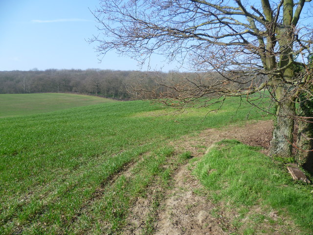
Image: © Marathon Taken: 15 Mar 2012
Shellbank Lane runs uphill from Green Street Green to Bean. This view towards Lords Wood is from the top of a bank at the side of the lane.
Images are licensed for reuse under creativecommons.org/licenses/by-sa/2.0
Image Location
Latitude
51.420733
Longitude
0.277304