Entrance to track to Totterdown Farm, Totterdown Lane
Introduction
The photograph on this page of Entrance to track to Totterdown Farm, Totterdown Lane by Vieve Forward as part of the Geograph project.
The Geograph project started in 2005 with the aim of publishing, organising and preserving representative images for every square kilometre of Great Britain, Ireland and the Isle of Man.

There are currently over 7.5m images from over 14,400 individuals and you can help contribute to the project by visiting https://www.geograph.org.uk
Entrance to track to Totterdown Farm, Totterdown Lane
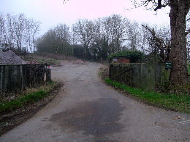
Image: © Vieve Forward Taken: 15 Mar 2012
The entrance to the track to Totterdown Lane gives nothing away about its destination. Past the pile of rock salt on the left and the tumbled-down building on the right, it seems to peter out, but the notice reading "Private Road Not a Public Footpath" belies the fact that something might lie at the end of the track.
Images are licensed for reuse under creativecommons.org/licenses/by-sa/2.0
Image Location
Latitude
51.69423
Longitude
-1.782792