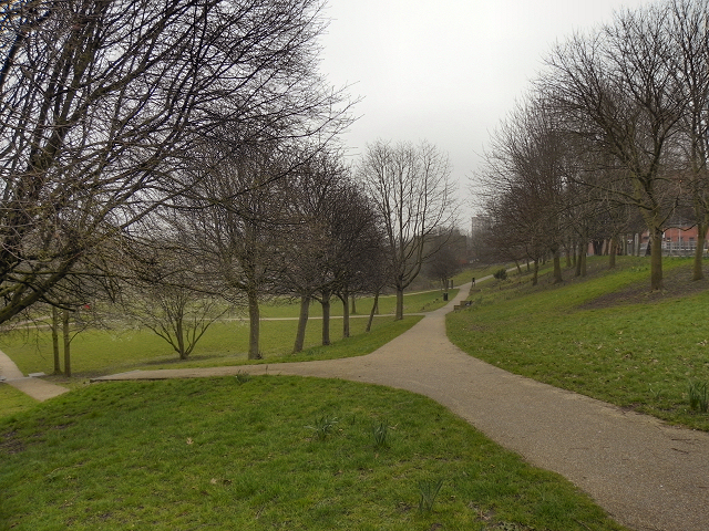
Angel Meadow/St Michael's Flags
Introduction
The photograph on this page of Angel Meadow/St Michael's Flags by David Dixon as part of the Geograph project.
The Geograph project started in 2005 with the aim of publishing, organising and preserving representative images for every square kilometre of Great Britain, Ireland and the Isle of Man.
There are currently over 7.5m images from over 14,400 individuals and you can help contribute to the project by visiting https://www.geograph.org.uk

Image: © David Dixon Taken: 15 Mar 2012
This pleasant city park between Aspin Lane and Old Mount Street is divided by an old wall. The land between this wall and Angel Street was once the churchyard of St Michael's and All Angels Church which was built in 1788 and stood until 1935. The rest of the land was the Parochial Burial Ground. The “new Burying Ground”, or “The Flags” as it later became known, was consecrated in 1787 to serve the grossly overcrowded Angel Meadow area and was the largest cemetery in Manchester. It was used for burying paupers who had no money for a proper burial. By 1816 the burial ground was full and closed down. Covered in flagstones, it then became a children's playground known as “St Michael’s Flags”. The flags remained in place until they were removed in 2001 when the site was renovated to create the park we see today. More information and photos at Manchester History Net http://manchesterhistory.net/manchester/tours/tour16/area16page8.html and Wikipedia http://en.wikipedia.org/wiki/St_Michael's_Flags_and_Angel_Meadow_Park .
Image Location


