Dalamaik Church
Introduction
The photograph on this page of Dalamaik Church by Alan Findlay as part of the Geograph project.
The Geograph project started in 2005 with the aim of publishing, organising and preserving representative images for every square kilometre of Great Britain, Ireland and the Isle of Man.

There are currently over 7.5m images from over 14,400 individuals and you can help contribute to the project by visiting https://www.geograph.org.uk
Dalamaik Church
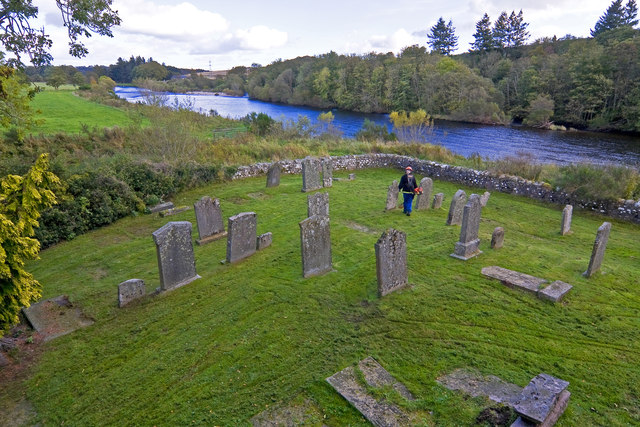
Image: © Alan Findlay Taken: 11 Oct 2011
The view across the graveyard towards the River Dee, a council worker is strimming the grass.
Images are licensed for reuse under creativecommons.org/licenses/by-sa/2.0
Image Location
Latitude
57.077322
Longitude
-2.306629