Long Lane/Forty Acre Lane junction Swettenham
Introduction
The photograph on this page of Long Lane/Forty Acre Lane junction Swettenham by Peter Turner as part of the Geograph project.
The Geograph project started in 2005 with the aim of publishing, organising and preserving representative images for every square kilometre of Great Britain, Ireland and the Isle of Man.

There are currently over 7.5m images from over 14,400 individuals and you can help contribute to the project by visiting https://www.geograph.org.uk
Long Lane/Forty Acre Lane junction Swettenham
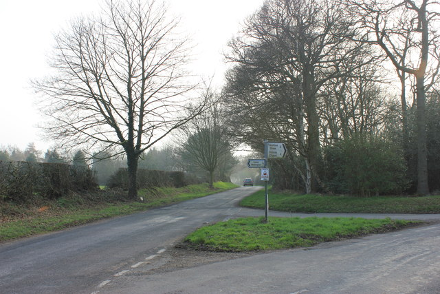
Image: © Peter Turner Taken: 13 Mar 2012
Forty Acre Lane sweeps in from the right rather than joining at 90deg as at one time the preferred route, from the A535 at Twemlow Green to Lower Withington and eastward, swept round here before the line was changed to the current line of the B5392.
Images are licensed for reuse under creativecommons.org/licenses/by-sa/2.0
Image Location
Latitude
53.214209
Longitude
-2.284478