The seawall, Whiteabbey
Introduction
The photograph on this page of The seawall, Whiteabbey by Albert Bridge as part of the Geograph project.
The Geograph project started in 2005 with the aim of publishing, organising and preserving representative images for every square kilometre of Great Britain, Ireland and the Isle of Man.

There are currently over 7.5m images from over 14,400 individuals and you can help contribute to the project by visiting https://www.geograph.org.uk
The seawall, Whiteabbey
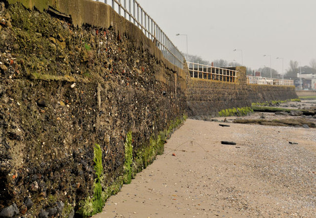
Image: © Albert Bridge Taken: 15 Mar 2012
The seawall which separates the Shore Road Image from Belfast Lough. It looks quite old but might only date from the reconstruction of the road in 1979/1980 Image
Images are licensed for reuse under creativecommons.org/licenses/by-sa/2.0
Image Location
Latitude
54.673735
Longitude
-5.895954