Road past Oxenleaze Farm
Introduction
The photograph on this page of Road past Oxenleaze Farm by Derek Harper as part of the Geograph project.
The Geograph project started in 2005 with the aim of publishing, organising and preserving representative images for every square kilometre of Great Britain, Ireland and the Isle of Man.

There are currently over 7.5m images from over 14,400 individuals and you can help contribute to the project by visiting https://www.geograph.org.uk
Road past Oxenleaze Farm
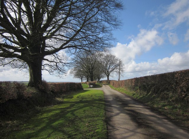
Image: © Derek Harper Taken: 3 Mar 2012
The junction with the farm lane on the left. The road is running along the southern edge of Heydon Common.
Images are licensed for reuse under creativecommons.org/licenses/by-sa/2.0
Image Location
Latitude
51.043849
Longitude
-3.400725