Mauldeth Road West, Hough End
Introduction
The photograph on this page of Mauldeth Road West, Hough End by Phil Champion as part of the Geograph project.
The Geograph project started in 2005 with the aim of publishing, organising and preserving representative images for every square kilometre of Great Britain, Ireland and the Isle of Man.

There are currently over 7.5m images from over 14,400 individuals and you can help contribute to the project by visiting https://www.geograph.org.uk
Mauldeth Road West, Hough End
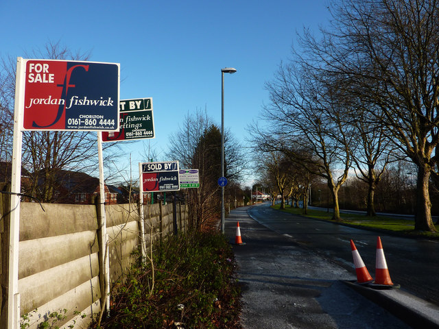
Image: © Phil Champion Taken: 18 Dec 2011
Looking east from the bridge over the disused railway line (shortly to be re-opened as part of the Manchester Metrolink network). The For Sale / To Let signs relate to properties (probably apartments) on Chelsfield Grove. Chelsfield Grove was originally a short cul-de-sac of interwar semi-detached and detached houses, with Broughton Park Rugby Club at the end. When the rugby club relocated in the 1990s, the site was developed for housing and the road extended.
Images are licensed for reuse under creativecommons.org/licenses/by-sa/2.0
Image Location
Latitude
53.437362
Longitude
-2.260979