The top of Twenty-Seven Steps, Mauldeth Road West, Chorlton
Introduction
The photograph on this page of The top of Twenty-Seven Steps, Mauldeth Road West, Chorlton by Phil Champion as part of the Geograph project.
The Geograph project started in 2005 with the aim of publishing, organising and preserving representative images for every square kilometre of Great Britain, Ireland and the Isle of Man.

There are currently over 7.5m images from over 14,400 individuals and you can help contribute to the project by visiting https://www.geograph.org.uk
The top of Twenty-Seven Steps, Mauldeth Road West, Chorlton
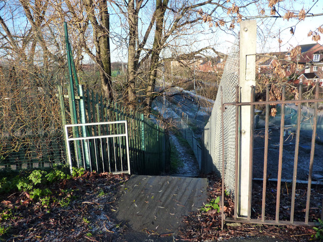
Image: © Phil Champion Taken: 18 Dec 2011
Mauldeth Road West was constructed in the 1920s, crossing the existing railway line by means of a substantial bridge. The road rises up to cross the line on substantial embankment. Steps on the north side of the road next to the bridge lead down to track level, a footpath then following Chorlton Brook to Nell Lane. Old maps suggest there was a bridge here before the dual carriageway was constructed, carrying a lane which led past Hough End Hall, though the current roadway is substantially wider. The name twenty-seven steps is a name that was certainly current during the late twentieth century, although I don't know if the location is still known by that name. There certainly aren't twenty seven of them (around thirty?).
Images are licensed for reuse under creativecommons.org/licenses/by-sa/2.0
Image Location
Latitude
53.437181
Longitude
-2.26158