Dunton Bassett Arms
Introduction
The photograph on this page of Dunton Bassett Arms by the bitterman as part of the Geograph project.
The Geograph project started in 2005 with the aim of publishing, organising and preserving representative images for every square kilometre of Great Britain, Ireland and the Isle of Man.

There are currently over 7.5m images from over 14,400 individuals and you can help contribute to the project by visiting https://www.geograph.org.uk
Dunton Bassett Arms
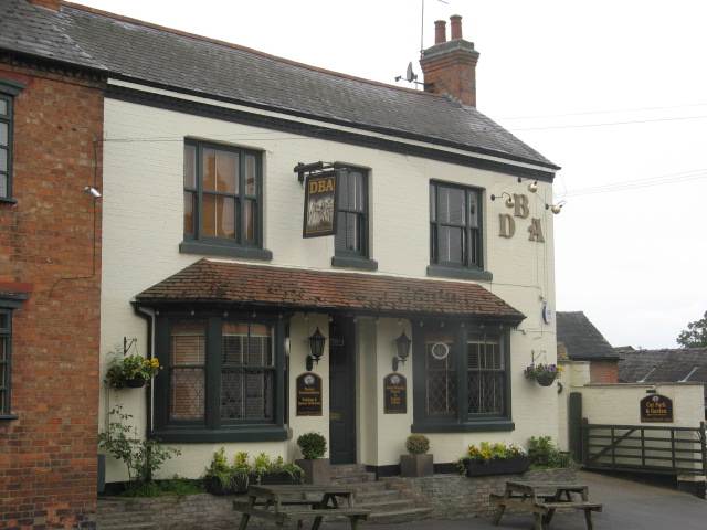
Image: © the bitterman Taken: 15 May 2011
9 Bennetts Hill. Called the Shoulder of Mutton until 1988.
Images are licensed for reuse under creativecommons.org/licenses/by-sa/2.0
Image Location
Latitude
52.51029
Longitude
-1.196198