Queen Anne's Close
Introduction
The photograph on this page of Queen Anne's Close by Simon Carey as part of the Geograph project.
The Geograph project started in 2005 with the aim of publishing, organising and preserving representative images for every square kilometre of Great Britain, Ireland and the Isle of Man.

There are currently over 7.5m images from over 14,400 individuals and you can help contribute to the project by visiting https://www.geograph.org.uk
Queen Anne's Close
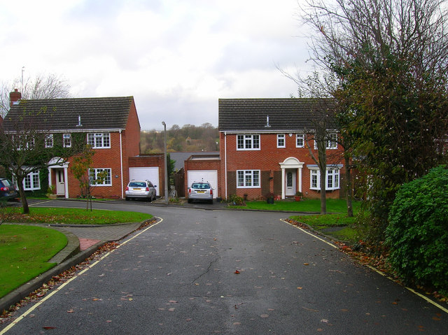
Image: © Simon Carey Taken: 25 Nov 2006
New development built in the empty land between King Henry's Road and the A2029 Offham Road. If you look closely between the two houses you can see Malling church.
Images are licensed for reuse under creativecommons.org/licenses/by-sa/2.0
Image Location
Latitude
50.875905
Longitude
0.00273