Knee Hill approaching the McLeod Road roundabout
Introduction
The photograph on this page of Knee Hill approaching the McLeod Road roundabout by David Howard as part of the Geograph project.
The Geograph project started in 2005 with the aim of publishing, organising and preserving representative images for every square kilometre of Great Britain, Ireland and the Isle of Man.

There are currently over 7.5m images from over 14,400 individuals and you can help contribute to the project by visiting https://www.geograph.org.uk
Knee Hill approaching the McLeod Road roundabout
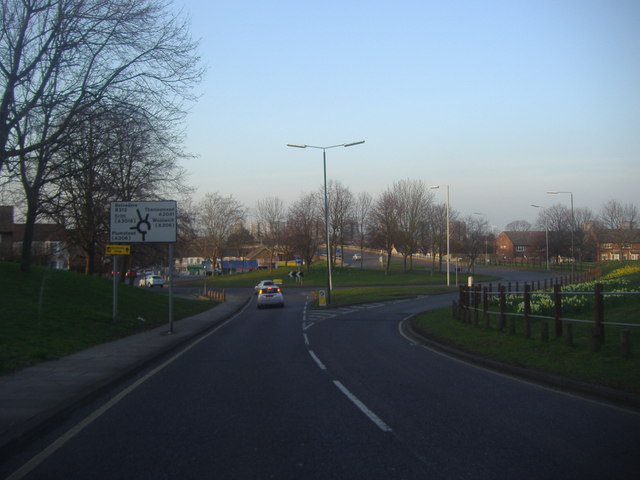
Image: © David Howard Taken: 11 Mar 2012
Heading towards one of London's newest suburbs, Thamesmead, which added to the population enough to require a new postcode, London's last, SE28, which was divided from SE2. It was previously marshes along the river and holds the unique position of being the only point south of the Thames east of Charing Cross to also be north of Charing Cross at its highest point.
Images are licensed for reuse under creativecommons.org/licenses/by-sa/2.0
Image Location
Latitude
51.48778
Longitude
0.121328