Open countryside west of Hoo St Werburgh
Introduction
The photograph on this page of Open countryside west of Hoo St Werburgh by David Kemp as part of the Geograph project.
The Geograph project started in 2005 with the aim of publishing, organising and preserving representative images for every square kilometre of Great Britain, Ireland and the Isle of Man.

There are currently over 7.5m images from over 14,400 individuals and you can help contribute to the project by visiting https://www.geograph.org.uk
Open countryside west of Hoo St Werburgh
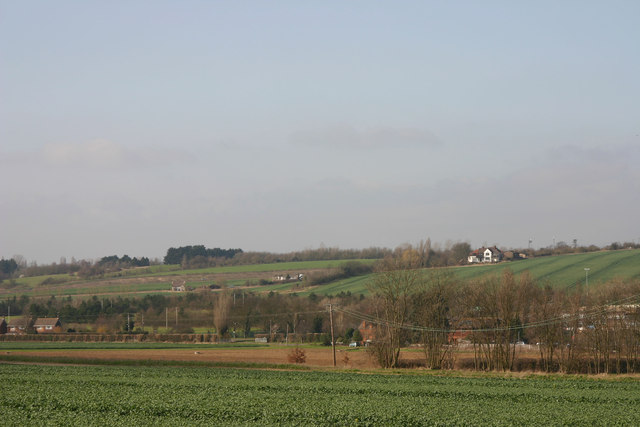
Image: © David Kemp Taken: 10 Mar 2012
The Hoo Peninsula consists of a ridge of high ground between the Thames and Medway bordered by marshland to the north and east. Part of the ridge can be seen here rising to a height of around 65 metres.
Images are licensed for reuse under creativecommons.org/licenses/by-sa/2.0
Image Location
Latitude
51.423448
Longitude
0.5473