Penn Road, Wolverhampton
Introduction
The photograph on this page of Penn Road, Wolverhampton by Roger D Kidd as part of the Geograph project.
The Geograph project started in 2005 with the aim of publishing, organising and preserving representative images for every square kilometre of Great Britain, Ireland and the Isle of Man.

There are currently over 7.5m images from over 14,400 individuals and you can help contribute to the project by visiting https://www.geograph.org.uk
Penn Road, Wolverhampton
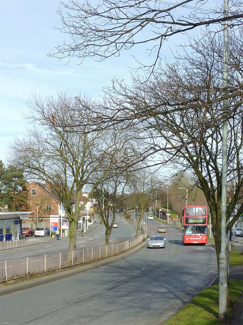
Image: © Roger D Kidd Taken: 6 Mar 2012
This is looking towards Wolverhampton along the dual carriageway A449. The bus is a route 255 to Merry Hill. A parade of shops is off to the right; the former Fox and Goose pub, soon to open as a "fusion" restaurant is off to the left. The bus is a Dennis Trident 2 built in 2004.Image]
Images are licensed for reuse under creativecommons.org/licenses/by-sa/2.0
Image Location
Latitude
52.560303
Longitude
-2.154104