Stirling Road at dusk
Introduction
The photograph on this page of Stirling Road at dusk by Alec MacKinnon as part of the Geograph project.
The Geograph project started in 2005 with the aim of publishing, organising and preserving representative images for every square kilometre of Great Britain, Ireland and the Isle of Man.

There are currently over 7.5m images from over 14,400 individuals and you can help contribute to the project by visiting https://www.geograph.org.uk
Stirling Road at dusk
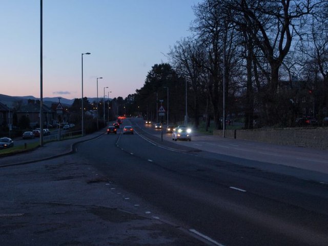
Image: © Alec MacKinnon Taken: 4 Mar 2012
The junction of Stirling Road and Dunbritton road is in the foreground. The road here known as Stirling Road is part of the long thoroughfare that carries travellers from the centre of Glasgow to Loch Lomond and on to all of Scotland west and north. It is always more or less always busy, here at dusk just as at most other times.
Images are licensed for reuse under creativecommons.org/licenses/by-sa/2.0
Image Location
Latitude
55.945735
Longitude
-4.546198