Path to Shropshire Way
Introduction
The photograph on this page of Path to Shropshire Way by David Dixon as part of the Geograph project.
The Geograph project started in 2005 with the aim of publishing, organising and preserving representative images for every square kilometre of Great Britain, Ireland and the Isle of Man.

There are currently over 7.5m images from over 14,400 individuals and you can help contribute to the project by visiting https://www.geograph.org.uk
Path to Shropshire Way
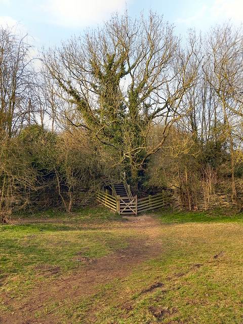
Image: © David Dixon Taken: 2 Mar 2012
Looking from the National Trust's Wenlock Edge car park to the gate and steps which lead to the Shropshire Way long-distance footpath.
Images are licensed for reuse under creativecommons.org/licenses/by-sa/2.0
Image Location
Latitude
52.593709
Longitude
-2.57288