Sardis Community Chapel, Ynysddu
Introduction
The photograph on this page of Sardis Community Chapel, Ynysddu by Jaggery as part of the Geograph project.
The Geograph project started in 2005 with the aim of publishing, organising and preserving representative images for every square kilometre of Great Britain, Ireland and the Isle of Man.

There are currently over 7.5m images from over 14,400 individuals and you can help contribute to the project by visiting https://www.geograph.org.uk
Sardis Community Chapel, Ynysddu
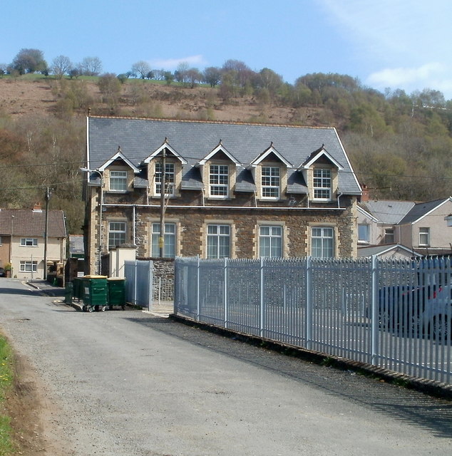
Image: © Jaggery Taken: 7 Apr 2011
Located on an unnamed side street on the south side of High Street. Built as a school house in 1909, the building is now Sardis Community Chapel. http://www.geograph.org.uk/photo/429398 to a view from the opposite side.
Images are licensed for reuse under creativecommons.org/licenses/by-sa/2.0
Image Location
Latitude
51.624421
Longitude
-3.185949