Wenlock Edge
Introduction
The photograph on this page of Wenlock Edge by David Dixon as part of the Geograph project.
The Geograph project started in 2005 with the aim of publishing, organising and preserving representative images for every square kilometre of Great Britain, Ireland and the Isle of Man.

There are currently over 7.5m images from over 14,400 individuals and you can help contribute to the project by visiting https://www.geograph.org.uk
Wenlock Edge
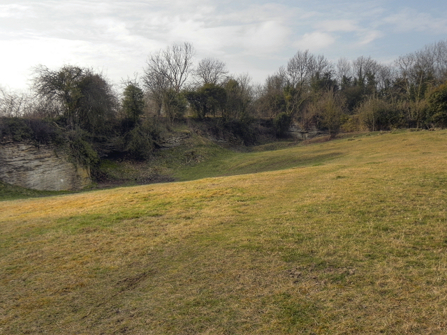
Image: © David Dixon Taken: 2 Mar 2012
Wenlock Edge is a limestone escarpment running for 24 km (15 miles) between Craven Arms and Much Wenlock. This is at the National Trust car park in the former quarry at Much Wenlock.
Images are licensed for reuse under creativecommons.org/licenses/by-sa/2.0
Image Location


Leaflet Map data © OpenStreetMap
Latitude
52.593408
Longitude
-2.573747