Islwyn Close bungalows, Ynysddu
Introduction
The photograph on this page of Islwyn Close bungalows, Ynysddu by Jaggery as part of the Geograph project.
The Geograph project started in 2005 with the aim of publishing, organising and preserving representative images for every square kilometre of Great Britain, Ireland and the Isle of Man.

There are currently over 7.5m images from over 14,400 individuals and you can help contribute to the project by visiting https://www.geograph.org.uk
Islwyn Close bungalows, Ynysddu
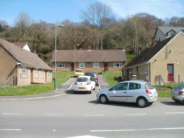
Image: © Jaggery Taken: 7 Apr 2011
Islwyn Close is a very short cul-de-sac connecting with the main road through the village, which is shown on some maps as the A4048 and on others as the B4251.
Images are licensed for reuse under creativecommons.org/licenses/by-sa/2.0
Image Location
Latitude
51.627103
Longitude
-3.187463