Steep ground above Clydesdale
Introduction
The photograph on this page of Steep ground above Clydesdale by Richard Webb as part of the Geograph project.
The Geograph project started in 2005 with the aim of publishing, organising and preserving representative images for every square kilometre of Great Britain, Ireland and the Isle of Man.

There are currently over 7.5m images from over 14,400 individuals and you can help contribute to the project by visiting https://www.geograph.org.uk
Steep ground above Clydesdale
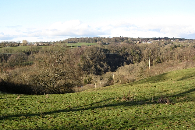
Image: © Richard Webb Taken: 4 Mar 2012
This part of Lanarkshire is flat but above the level of the Clyde which runs through a faulted glen. Tributaries are energetic falling off the plateau and have cut steep sided gorges. The Nemphlar Moor Road has climbed from Crossford and has a view down to the Mashoch Burn and the usual Clydesdale woodlands.
Images are licensed for reuse under creativecommons.org/licenses/by-sa/2.0
Image Location
Latitude
55.69591
Longitude
-3.851233